

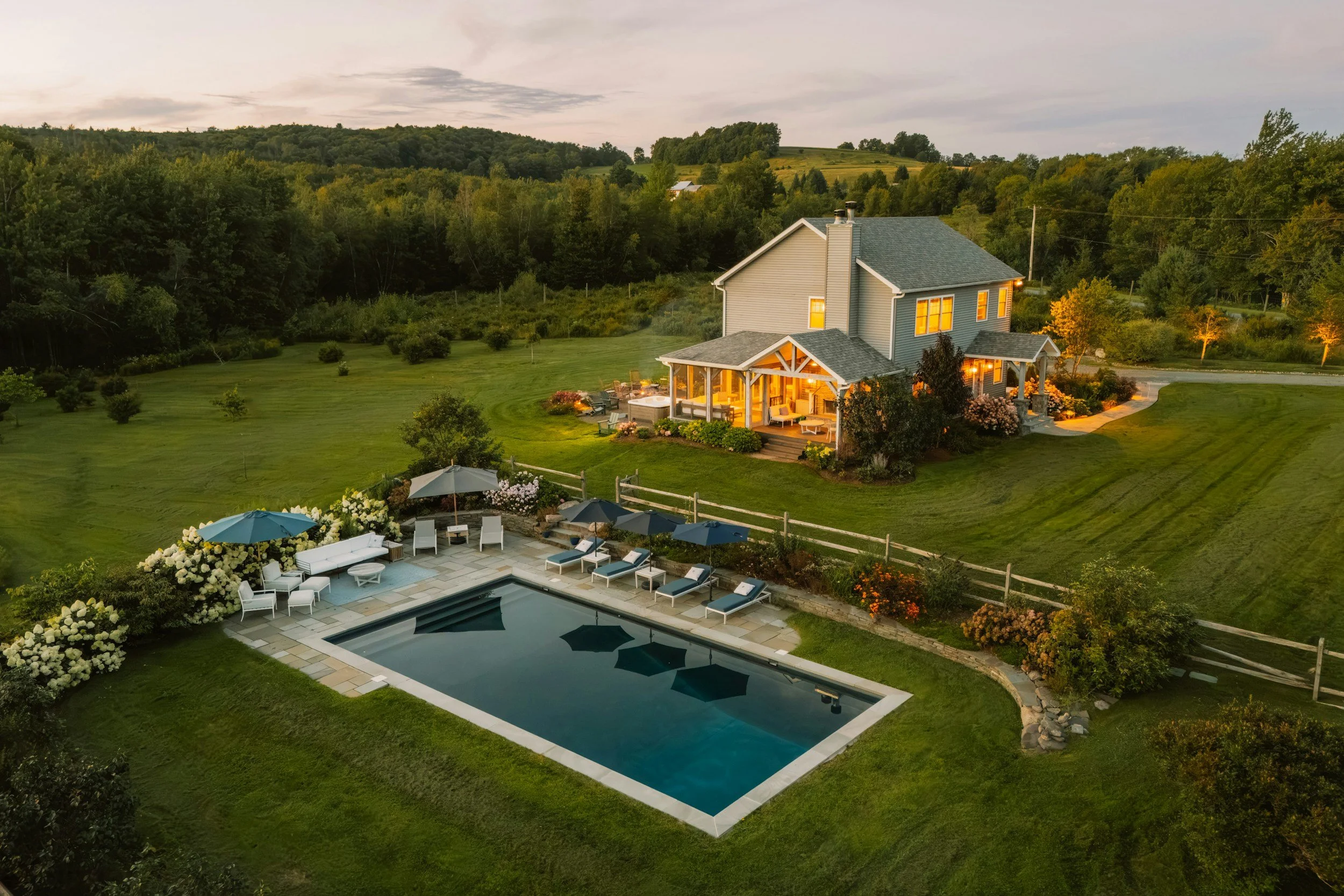
See the Whole Property. Inside and Out.
Drone and interior photography, 3D tours, mapping and inspections across Northern Virginia, from one local, veteran-owned team.
Meet Mike Dunbar
FAA Part 107 certified drone pilot
Marine Corps veteran
Fully insured
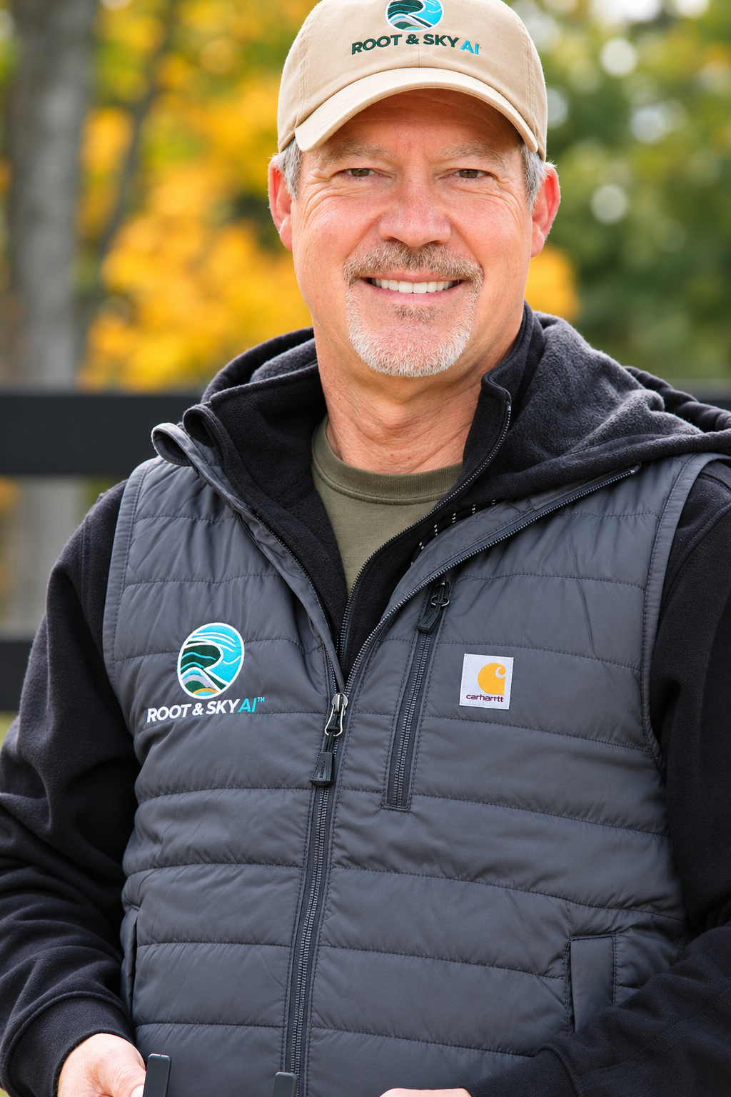
Root & Sky AI flies homes, venues, farms and job sites across Northern Virginia, and turns what the drone sees into photos, maps and reports you can use.
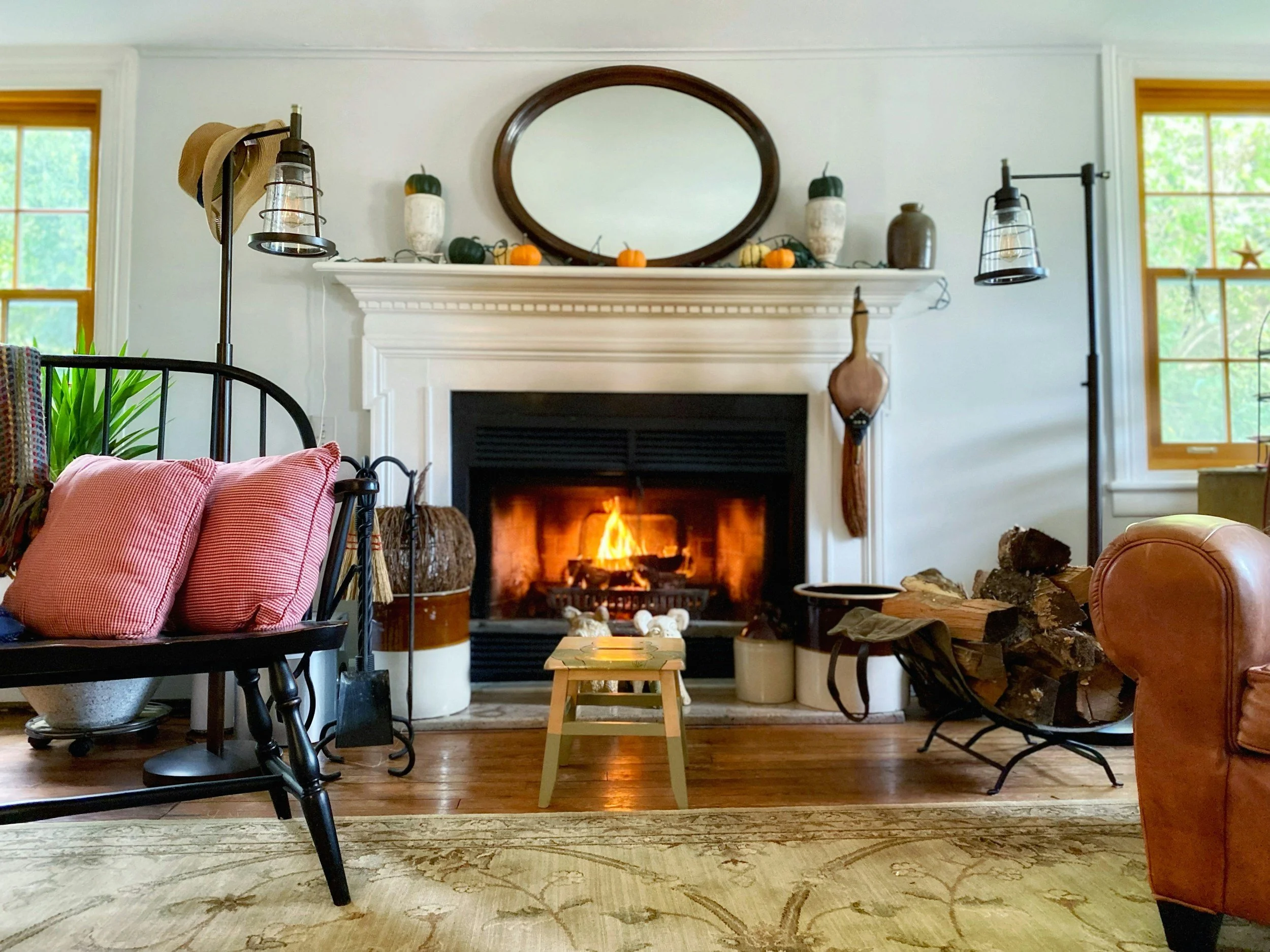
Realtors & Estate Owners
LISTINGS · ESTATES · 3D TOURS
Listings with 3D tours can sell up to 31% faster and for up to 9% more.¹
Interior photography
Aerial photo and video
3D virtual tours
First aerial shoot free
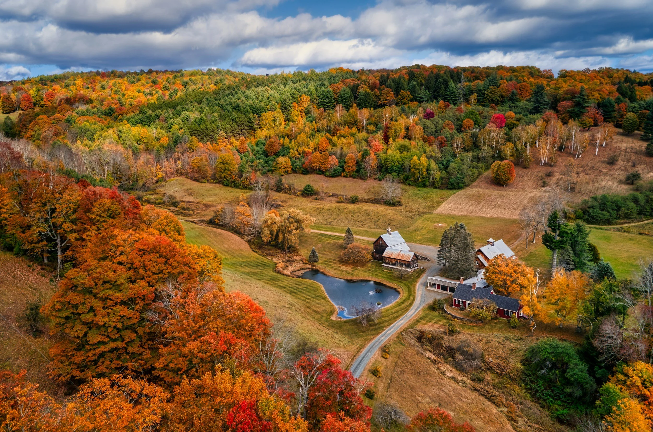
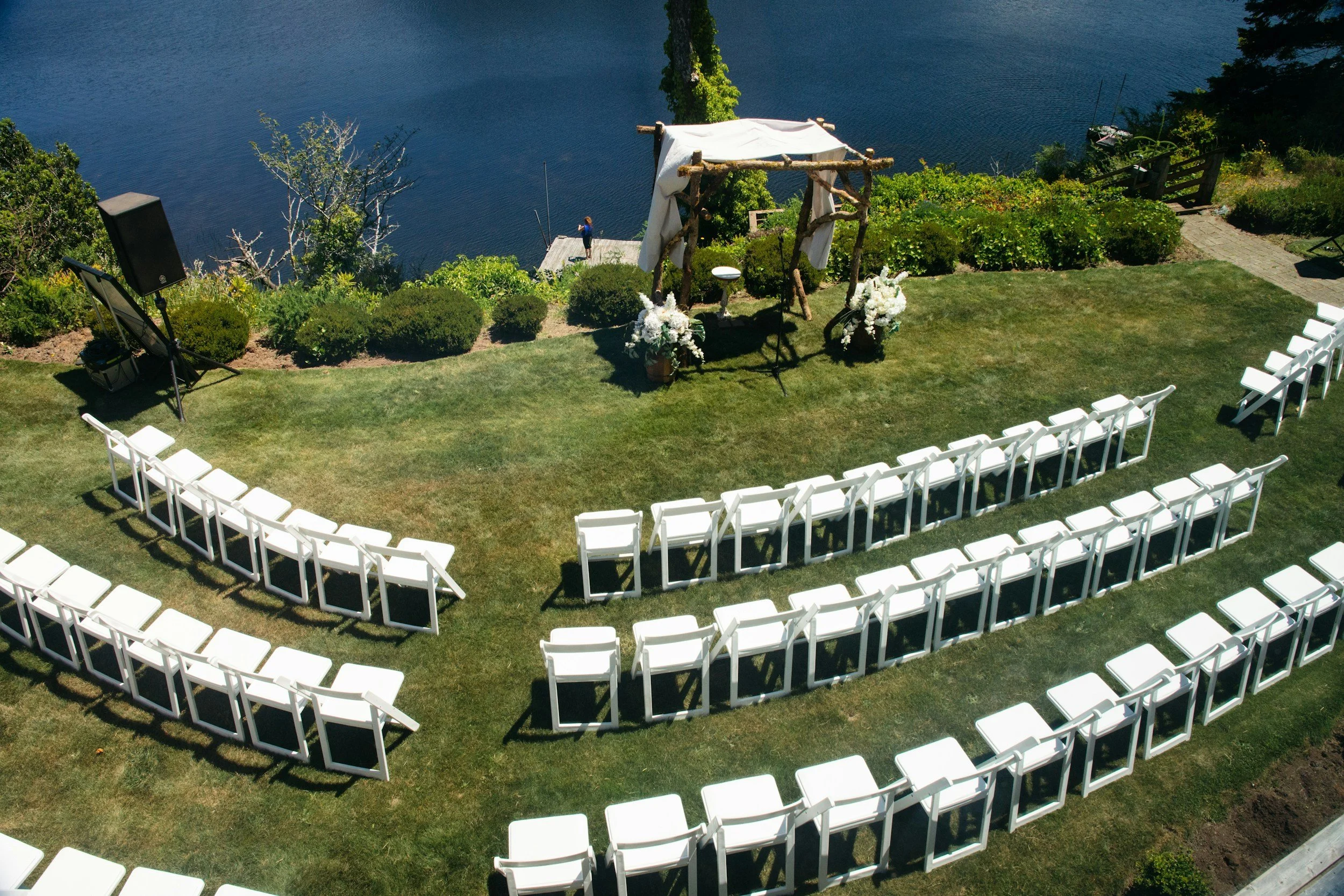
Venues & Hospitality
WEDDING VENUES · WINERIES · INNS
48% of event planners say photos and video shape their venue decisions.²
Aerial photo
Aerial video
3D virtual tours
Farms & Landowners
HORSE FARMS · ACREAGE · DRAINAGE
A drone can map 50 acres in under an hour.³
Pasture vigor maps
Acreage maps
Drainage maps
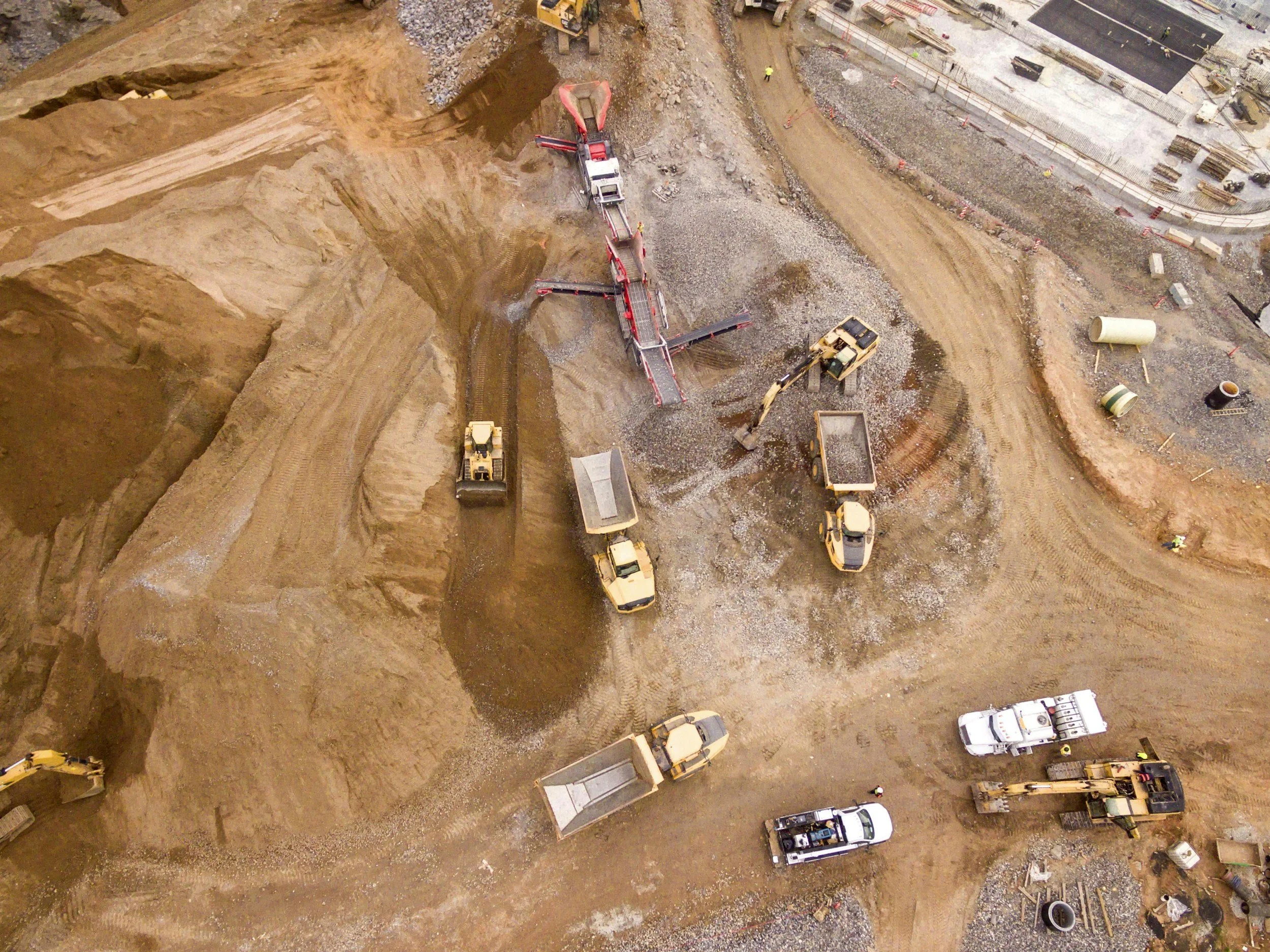
Builders & Developers
CONSTRUCTION · ROOFS · DATA CENTERS
Nearly half of construction rework traces back to poor data.⁴
Progress photography
Site maps
Roof inspections
Get in Touch
Tell us what you're working on. Mike reads every message and calls back himself.
Call (888) 821-7668
Email mike@rootandskyai.com
Based in Middleburg. Serving Loudoun, Fauquier and all of Northern Virginia, Washington DC and the Shenandoah Valley