

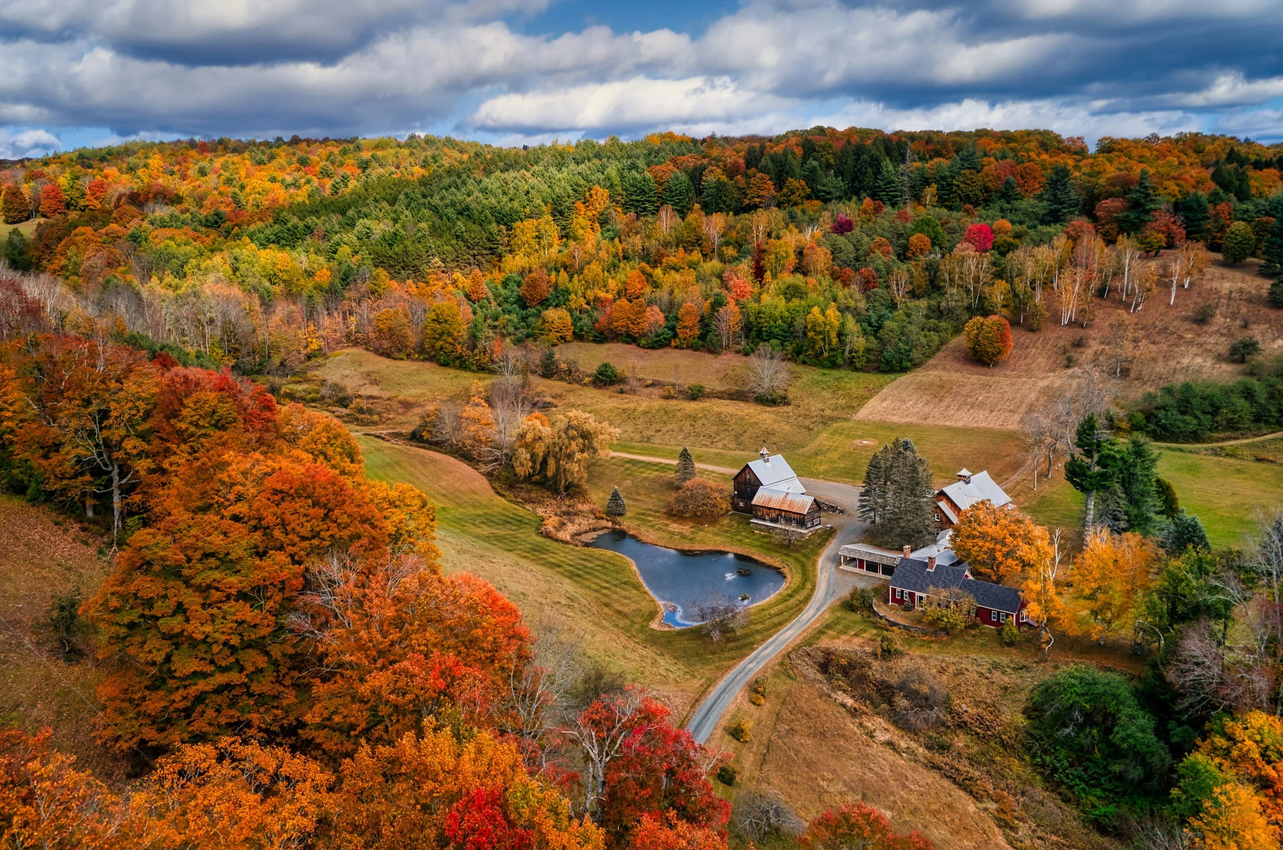
Know Every Acre.
Drone mapping, drainage maps and aerial farm photography for horse farms, cattle farms and vineyards in Loudoun, Fauquier and Northern Virginia.
FAA Part 107 Certified · Fully Insured · Marine Corps Veteran-Owned
See problems before they cost you a season.
From the tractor seat, a wet corner, a thin patch of pasture or a washed-out fence line can hide in plain sight. From a few hundred feet up, they don't. Root & Sky AI turns a single drone flight into maps and imagery you can act on, flown by a local, FAA Part 107 certified drone pilot.
Most farms in Loudoun and Fauquier are under 180 acres, and that's who we built this for: horse farms, hay and cattle farms, vineyards and country estates, from Middleburg and Purcellville to Warrenton, The Plains and the Shenandoah Valley.

A drone can map 50 acres in under an hour.3
What we do
Farm drone services
Farm and property mapping
Hundreds of overhead photos stitched into one sharp, measurable map of your whole property, like a private Google Earth taken today. Measure fields, pastures, fence lines and roads to the foot, and keep a dated acreage map for planning, insurance, an easement or a sale.
Drainage and wet-spot maps
The same flight builds a 3D elevation model of your ground, shaded to show where water collects and which way it runs. See where a ditch, culvert or tile line would help before the next wet spring, and hand your drainage contractor a map to work from.
Pasture and vineyard vigor maps
A color map of plant vigor across every field, so you can spot weak, bare or overgrazed pasture, uneven vines and missing plants, and walk straight to them instead of searching on foot.
Fence, pond and storm checks
Zoom-camera flights along fence lines, ponds and water troughs, and after a storm, with every issue pinned on a map. Find the downed tree or broken board in minutes, not a morning on the four-wheeler.
Horse farm and estate aerial photography
Aerial photos and video of your barns, paddocks, pastures and the land around them, for a farm website, a sale listing, an event or simply the place you love seen from above.
NDVI crop health scans
Near-infrared imaging that picks up crop stress from disease, pests, nitrogen or water before you can see it. If you grow row crops or wine grapes and want to be first on the list, tell us below.
What you get
Maps you can open on your phone
Illustrations of each map type. Every map comes with a plain-English summary of what stood out.
Packages
Farm mapping packages
Price depends mostly on acreage and which maps you need. Give us a rough acreage and the problem you're trying to solve.
Property Map
A full-property map with measured fields, pastures and fence lines, delivered as a PDF and a Google Earth file.
Request a quote →Land & Water Report
Everything in the Property Map, plus a drainage and wet-spot map, a pasture vigor map and a plain-English summary of the top problem spots.
Request a quote →Fence & Water Check
A zoom-camera flight of fence lines, ponds, troughs and storm damage, with marked-up photos. One visit or quarterly.
Request a quote →Farm Portrait
Edited aerial and ground photos plus a short video of your property, barns and animals.
Request a quote →Season Watch
A Land & Water Report in spring, then vigor map flights through the growing season, with before-and-after change maps.
Request a quote →Wet corners, thin pasture and downed fence are easier to spot from a few hundred feet up.
Who we work with
Horse farms, cattle, vineyards and estates
Horse farms and equestrian estates
Paddocks, fencing, arenas and barns mapped and photographed, planned around your horses.
Hay and cattle farms
Pasture condition, wet spots, water and fence checks across every field.
Vineyards
Vine vigor, missing vines, drainage on slopes and marketing aerials. Hosting weddings or events too? See our venue and winery services.
Conservation land, estates and land for sale
Dated maps and aerials for easements, records and listings. Selling? See our real estate services.
When to map your farm
Ask about timing- Drainage and elevation maps: November to early April, when the ground is bare and the trees are leafless, or a day or two after a soaking rain.
- Pasture vigor maps: April to June and September to October, while the grass is growing.
- Vineyard vigor maps: June to August, with the canopy full.
- Fence and storm checks: after storms, and once a season.
- Farm Portraits: May to June for green, and mid to late October for fall color.
How it works
How a mapping visit works
- 01
Tell us about your land
A 15-minute call or the form below: your acreage, what you want to solve and any animals on site. We check the airspace and look at your property on a map.
- 02
Get a clear quote
A clear quote, with the best time of year to fly for what you need.
- 03
We fly
Mike walks the problem spots with you, then maps the whole property in a single visit. We plan around your horses and livestock, and you don't need to stay for the flight.
- 04
See your land
You get your maps, photos and a plain-English summary of what stood out, with a walk-through call.
- 05
Watch it change
Fly again next season to see what improved, or add regular check-ins through the growing season.
How much does farm drone mapping cost?
It depends on your acreage and what you need. Tell us about your land below and we'll send a clear quote.
When is the best time to map my farm?
For drainage and elevation, late fall through early spring, when the ground is bare. For pasture and vines, during the growing season. We'll tell you the right window when you call.
How often should I fly?
One flight is a great place to start. Many owners come back each season, or after big storms, to see what changed.
Will the drone bother horses or livestock?
We plan altitude and flight paths to keep animals calm, ask for horses to be stalled or moved where needed, and land out of their sight.
What will I actually receive?
A map you can open on your phone or in Google Earth, a PDF summary of what we found, and files your agronomist or drainage contractor can use.
Can you find my old drain tile?
Sometimes. After a rain, soil over working tile dries faster and can show on the map. We'll mark likely lines, but only digging or ground-penetrating radar can confirm them.
Do I need a big farm?
No. Most farms in Loudoun and Fauquier are under 180 acres, and we map properties of every size.
Do you offer NDVI crop health scans?
Coming soon. Tell us what you grow, and we'll let you know as soon as they're available.
Do you spray crops?
No. We map, photograph and document your land. For spraying, we're glad to point you to a licensed local operator.
Are you licensed and insured?
Yes. Mike is an FAA Part 107 certified drone pilot, and Root & Sky AI is fully insured.
Get in Touch
Tell us what you're working on. Mike reads every message and calls back himself.
Call (888) 821-7668
Email mike@rootandskyai.com
Serving Northern Virginia, Washington DC and the Shenandoah Valley